Experience required prior training: None
Certification required prior training: VHF/SRC
Minimum age required: 16 years old
Equipment requirements: Power boat up to 12 m long, able to plane
Suggested number of training hours: 25 hours (including 6 h practice)
Who can run the training: ISSA Instructor
Who can do the examination: ISSA Instructor
How to submit the application: To authorised ISSA school only
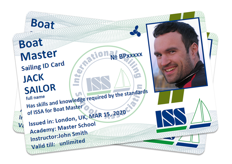
Qualifications obtained after the course: Skipper power boats:
– up to 12 m long (with inboard our outboard engine)
– day time
– conditions up to 6 B degrees
– up to 10 mile from shore
Skills and knowledge required for a Boat Master
Boat’s construction
- Knows the basic terminology of a power boat:
° Bow;
° Stern, aft, etc. - Can fill up the water and fuel tanks;
- Can operate the engine;
° Start is;
° Switch it off;
° Check operation of cooling system;
° Check oil level;
° Top up engine oil;
° Check cooling fluid level;
° Top up cooling fluid level;
° Find bottom valves;
° Recognize the breakdown of impeller in cooling system and possibly replace it;
° Check whether alternator is charging batteries when engine is working. - Knows elementary equipment of yacht:
° Echo-sounder (location, operation, typical errors);
° Log;
° Steering system;
Line and spring handling
- Can combine two lines of the same and different diameter;
- Can make:
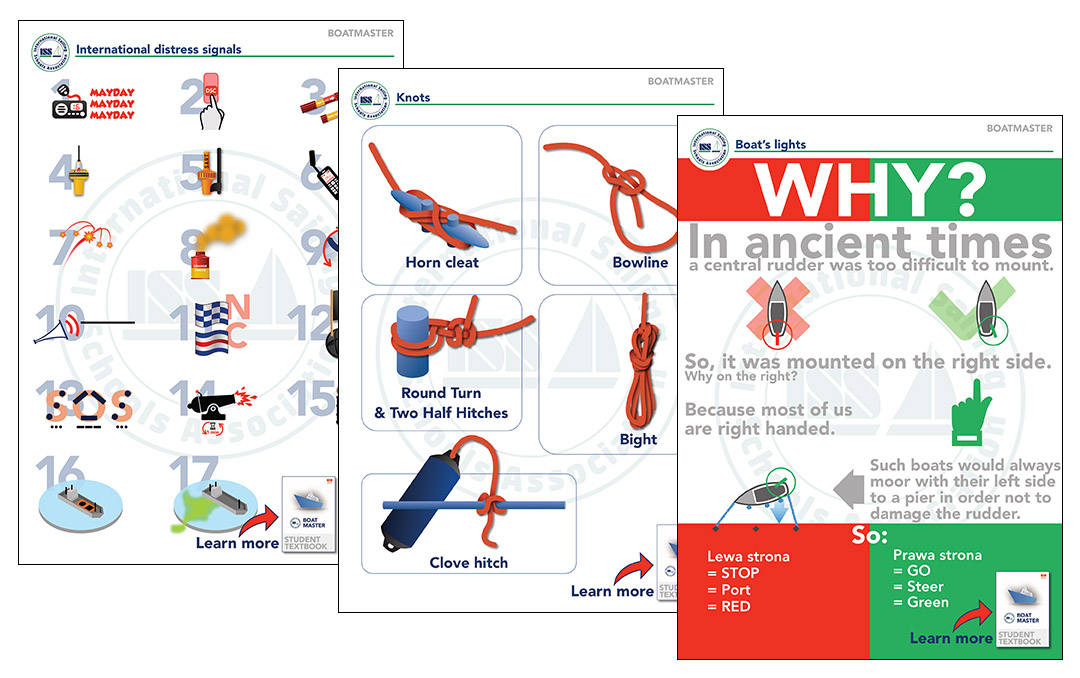
° Bowline;
° Fast a line on a cleat;
° Fishermen’s bend;
° Coil mooring lines;
- Can:
° Pass, take, make fast on cleat, let go mooring lines;
° Throw mooring lines;
° Describe different ways of taking a mooring.
Handling fenders
- Can:
° Fix the fenders using adequate knots;
° Effectively apply the manouvering fender;
Operating the anchor
- Can:
° Prepare the anchor for weighing;
° Select safe location for staying at anchor;
° Apply rules for safe anchoring (4xdepth, anchor alarm/watch);
° Distinguish different types of anchors and their characteristics.
Safety
- Can:
° Perform the safety briefing:
– How to move on deck;
– How to apply personal safety equipment (harness, jackstay, etc.);
– Apply distress signalling equipment (pyrotechnics, flags, etc.);
– Different methods to send distress signal;
– Make a distress call with help of VHF;
– Knows procedures to be applied in restricted visibility;
– Basic knowledge about SAR procedures (RIB, helicopter);
– First Aid Kit (location and content).
Handling boat under power
- Can:
° Launch and recover a boat;
° Manouver a boat under power;
° Approach a MOB;
° Take a berth/leave a berth (longside, stern-to, bow-to);
° Weigh anchor.
International Rules for Preventing Collisions at Sea
- Knows the navigation shapes and lights:
° Vessel not under command;
° Vessel restricted in ability to manouver;
° Vessel engaged in fishing;
° Vessel aground;
° Pilot vessel;
° Towing set
° Sailing yacht;
° Power driven vessel; - Knows the vessels’ priority at sea;
- Knows how to proceed in a „close encounter” situation;
- Is familiar and complies with the requirement for continues observation;
- Is familiar with other legal obligations of a skipper and crew;
- Is familiar with and understands after-collision rules applicable at sea.
Navigational Aids
- Knows, understands and is able to recognize lateral and smaller channel marks at day time in system IALA A and B;
- Knows, understands and is able to recognize cardinal marks and other navigational marks (safe water mark, isolated danger mark) at day time;
- Is able to use the list of marks and symbols used on charts (eg. Chart 5011);
- Is able to apply navigational publications when planning a port’s entry (pilot books, almanacs, navigational plans);
- Knows and can recognize light characteristics of Lighthouses/navigational marks.
Terrestrial navigation
- Knows and understands the basic terms from geography:
° Latitude;
° Longitude;
° Magnetic pole;
° Geographic pole;
° Earth’s magnetic field; - Knows the basic types of sea charts, their construction and application:
° Mercator’s projection chart (how is it constructed, spreading of parallels, construction parallel)
° Passage charts, coastal charts, plans; - Can read elementary information from a chart that is crucial for safe sailing:
° Depths;
° Distance;
° Navigational obstacles
° Navigational marks; - Can read charts/ plot latitude and longitude;
- Knows and understands the phenomenon of Earth’s magnetism, variation and deviation;
- Can use a compass;
- Can make use of various bearing lines;
- Has general information about tides and tide-related dangers.
Electronic-based navigation
- Knows how the GPS system works;
- Can enable and check the elementary settings of GPS and plotter;
- Can set and read adequate course on GPS;
- Can plot a position on a chart taken from a GPS;
- Knows what is AIS, ARPA, VTS.
Meteorology
- Knows the Beaufort scale and its meaning for small craft;
- Knows sources of meteo information and how to use them;
- Has the basic knowledge about high, low pressure areas, fronts;
- Can recognize cumulonimbus clouds;
- Understands meteo messages (including those broadcast by radio coastal stations)
- Can take meteo factors into consideration when planning a passage in a coastal zone:
- Has the habit not to leave harbour without valid weather forecast.
Other
- Environmental friendly approach and respect to other yachtsmen and women;
- Knows and applies basic pro-environmental rules;
- Knows and applies social friendly approach at sea and in harbour.